The CAP Information Service - the benefits

...your land parcels, straight-forward permissions process to allow others to use the service for you and simple, user-friendly layout are a big improvement on the paper forms of the past....
...your land parcels, straight-forward permissions process to allow others to use the service for you and simple, user-friendly layout are a big improvement on the paper forms of the past....
...Dale, from Geospatial Services here at RPA. Thanks for joining Rachael. Rachael: Thanks for having me, it’s good to be here. Beth: So, Rachael, can you tell us what is...
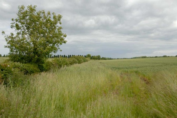
...strips - use ‘catch and cover crops’ for soil fertility and quality - use Nitrogen Fixing Crops like legumes - use hedgerows Because hedgerows need to be digitally recorded and...
...Countryside Stewardship. Underneath each permission level in the Rural Payments service, there are details of what a person with that authority can do. It’s important to allocate the relevant level...
...is there anything else farmers need to do before submitting their claim? Gregg: Yes, before submitting your Countryside Stewardship claim, please make sure you’ve updated your land use codes by...

...data with other descriptive information. It allows people to create maps and analyse data and is used in almost every industry. We use GIS across our agency to improve our...
...on what the service looks like and its ease of use. We also got useful ideas on how we might improve the guidance on particular parts of the service, to...

...know about you. Here are some tips to help you prepare: You’ll need to set up some security questions and create a username and password - keep these in a...
...high priority areas for improving water quality in England. Use MAGIC to: check the holding is in a high priority area and eligible for CSFO support. Find your site using...
...on the ‘land-use’ screen and either correcting that information or reducing the declared area to match the correct eligible area of the parcel in the ‘Activate less BPS area’ screen....