How to fill in an RLE1 form
...Action code. Fill in the action code ‘N’ for a new parcel. Fill in the action code ‘B’ for a boundary change. Fill in the action code ‘D’ for a...
...Action code. Fill in the action code ‘N’ for a new parcel. Fill in the action code ‘B’ for a boundary change. Fill in the action code ‘D’ for a...
...eligible for BPS because it was used to claim SPS in 2008 and is still in an RDP agreement, use RD01. If the area is not eligible and is not...
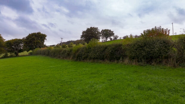
...panel to make sure we use the sanctions consistently. We’ve published guidance on the Hedgerow management rules: cutting and trimming and and Hedgerow management rules: buffer strips and produced a...

...clearly state the new land cover and area. Providing a land use code can be useful and will reduce query delays. Important note: We are not allowed to change PG01...
...important to check you have correctly labelled your evidence with the right option code and parcel reference number. Check your permissions It’s important to check that you have set the...
...data, land links and entitlements. I’m now joined by Rachael Dale, Head of Geospatial Services at the RPA, to explore this further. Rachael, thanks for your time today. Rachael: Thanks...
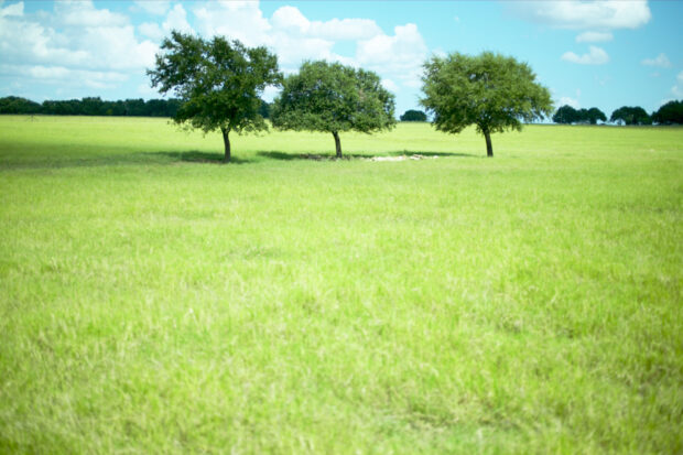
...grasslands. In the Sustainable Farming Incentive, SAM3 / CSAM3 actions are only eligible on arable, temporary grassland or improved permanent grassland. They are not eligible on: semi improved or unimproved...
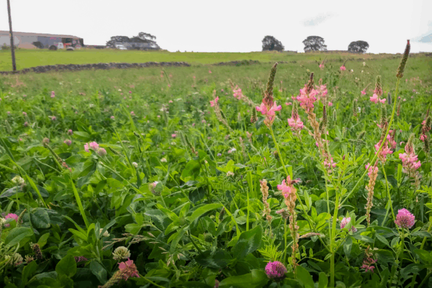
...land features you will use to meet the greening rules, such as hedges and buffer strips. When adding a land use or feature to a parcel, you must accurately type...

...online or using an RLE1 form. 8. Check and update land use: including agricultural and non-agricultural land use areas and land use codes to show the correct position on the...
...outcomes. One of the techniques we use is referred to as remote monitoring. This is in the form of satellite imagery to monitor agricultural land from above. Why we use...