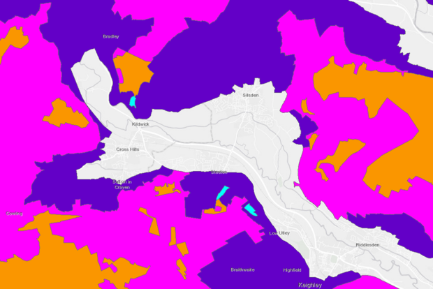
How RPA ensures land data is kept up to date
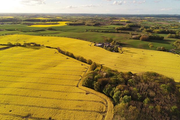
...we wouldn’t make a change because, although the boundaries don’t quite align, we can see this is because of a misalignment in the imagery. NO CHANGE: And here we...
...we wouldn’t make a change because, although the boundaries don’t quite align, we can see this is because of a misalignment in the imagery. NO CHANGE: And here we...
...existing schemes. Attending shows also allows us to use the insight we gain to influence delivery and inform the development of future schemes. Meeting farmers provides us with unique feedback...
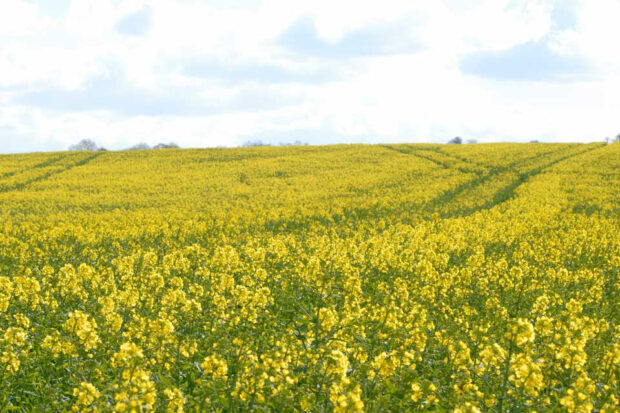
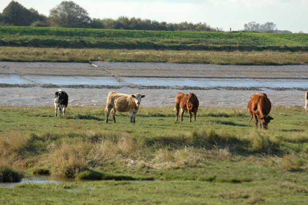
...Tier. This also applies to the Sustainable Farming Incentive (SFI). Land details shown on your digital maps in the Rural Payments service are used for several of the land-based schemes...
...payments will reflect progressive reductions applied as we phase out BPS payments to 2027. You can use the online calculator as a guide to understanding how progressive reductions could affect...
...rooted and because of its condition, it or part of it, is likely to cause danger by falling on to a highway, road or footpath or obstructs the view of...
The Rural Payments Agency (RPA) is making a number of new and existing spatial data products publicly available, which can be used by organisations and businesses to support the agricultural...
...is the Cattle Tracing System (CTS), which animal keepers use to report the births, deaths and movements of their bovine animals. In the third of our series of blogs talking...
...is made up of two grants: The Farming Equipment and Technology Fund (FETF) provides grants between £1,000 and £25,000 towards the cost of equipment and technology to improve productivity, the...

...pay for capital items to improve farm and horticulture productivity. It focuses on the use of robotic and automated equipment and systems to aid crop and livestock production and the...
...We have finished sending out initial Delinked Payments Information Statements to customers. The statement shows reference data for your business and the reference amount we will use to calculate your...