Mapping
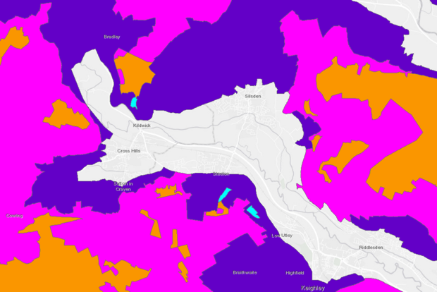
Today is the 25th anniversary of World GIS Day, created to celebrate the power of Geographic Information Systems (GIS). GIS is a tool that links data to maps, integrating location data with other descriptive information. It allows people to create …
Welcome to the eighth episode of The RPA Podcast. In our latest episode, Danielle Bragg from the RPA Grants Service Team discusses the range of grants currently available to farmers, as well as some new opportunities on the horizon. We …
Executive Summary Item 1: Danielle Bragg, from the RPA Grants Service Team, runs us through all the grants available to farmers, under the Farming Investment Fund. The Farming Investment Fund offers funding for equipment, technology, and infrastructure that improves farm …
RPA has launched a new digital service for customers to notify us of mapping changes called Rural Land Changes. This online method will replace the eRLE1 form and significantly reduce the length of time it takes us to action submissions …
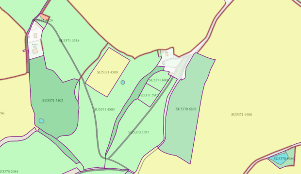
The Rural Land Register is a key dataset maintained by RPA which underpins the delivery of the land-based schemes, such as Basic Payment Scheme, Countryside Stewardship and Sustainable Farming Incentive, to ensure accurate payments are made to farmers and land …
The Rural Payments Agency (RPA) is making a number of new and existing spatial data products publicly available, which can be used by organisations and businesses to support the agricultural economy and research in the industry. Products that have been …
Recently, we published a series of blogs about the importance of keeping the registered land details on your digital maps up to date. This blog summarises what this series of blogs has covered, together with links to those blogs so …
In the latest blog in our series about the RPA mapping process and how to carry out mapping-related tasks ahead of scheme applications, this blog will guide you through using a map to make amendments to hedge linear features, making …
In the second blog in our series about the RPA mapping process and how to carry out mapping-related tasks ahead of scheme applications, this blog will guide you through using a map to clearly identify a division or split of …
This is the first blog in a series about the RPA mapping process and how to carry out mapping-related tasks ahead of scheme applications. This blog will show you how to fill in the RLE1 form - electronically or on …
